



Kalavantin Durg & Prabalgad Trek: The Ultimate Guide to One of the Sahyadris’ Most Dramatic Fort Pairings!
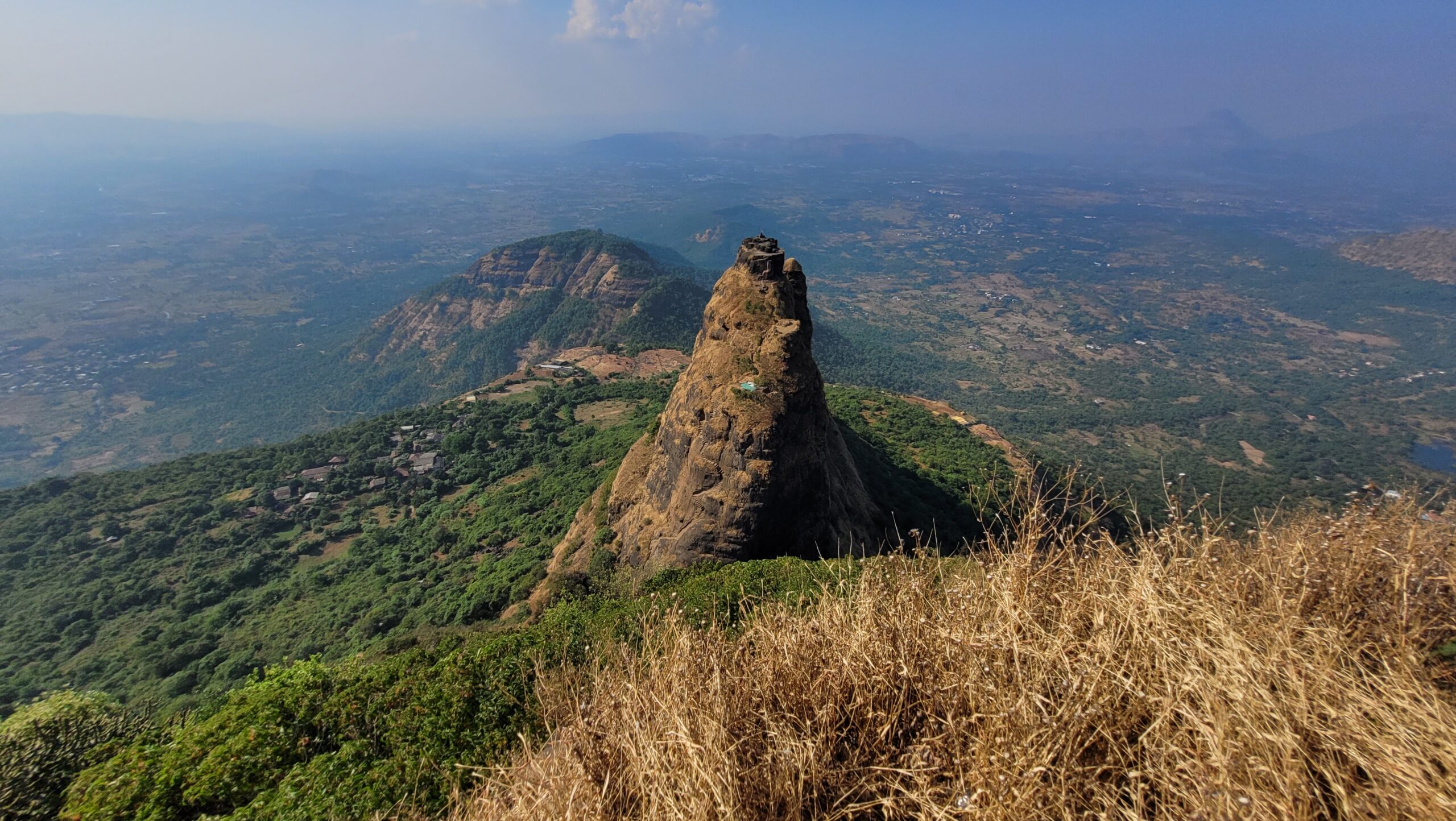
There is a moment on the Prabalmachi plateau when the trees thin out, the wind picks up, and a rock pinnacle rises from the ridge as if driven up through the earth. That pinnacle is Kalavantin Durg. Beside it sits the long, flat-topped bulk of Prabalgad, heavy with history. The two forts have faced each other across a narrow col for centuries, and few views in the Sahyadris near Mumbai stop you as completely.
This guide covers how to reach them, how the trail unfolds, what the rock-cut steps are really like, and when not to go.
Kalavantin Durg & Prabalgad at a Glance
- Base village: Thakurwadi, near Shedung Phata (Raigad district)
- Camping / homestay village: Prabalmachi, on the Prabal plateau
- Heights: Kalavantin about 2,250 ft (685 m); Prabalgad about 2,300 ft. Sources vary
- Difficulty: Prabalgad easy to moderate; Kalavantin moderate to hard, mainly for exposure
- Time: 3 to 4 hours to the top of Kalavantin; a full day with Prabalgad
- Best season: October to February
- Nearest railhead: Panvel
Fees, timings and rules change. Confirm locally before you go.
Why This Trek Gets Under Your Skin
Plenty of Sahyadri treks reward you with a view. This one rewards you with a silhouette. From the Mumbai–Pune highway, from Lion’s Point at Matheran, even from the train near Panvel, Kalavantin announces itself long before you arrive, and you spend the walk-in watching it grow.
The quieter second act lies behind it: Prabalgad’s ruins, its temple and the sweeping edges where the Konkan falls away below. Together, the two make one of the best fort-and-pinnacle pairings within a couple of hours of Mumbai and Pune.
A Little History Before You Go
Prabalgad was once called Muranjan. Traditional accounts date it to the Bahmani period, when it kept watch over the Panvel and Kalyan areas. Around 1636, Shahaji is said to have sheltered here with Jijabai and the young Shivaji. In about 1657 the fort came into Maratha hands and was renamed Prabalgad, “the mighty.” It passed to the Mughals under the Treaty of Purandar in 1665 and was later retaken. Accounts differ on the details.
Local legend says Kalavantin Durg was built for a queen named Kalavantin. Historians see a practical watchtower on an old trade route. Standing on top, the lookout logic is obvious.
Getting to Thakurwadi
Both treks have a common base/starting point. The village of Thakurwadi.
- From Mumbai by train: Reach Panvel, then take a state transport bus toward Shedung and Thakurwadi, or share a rickshaw.
- By car: Take the old Mumbai–Pune highway to Shedung Phata and follow the village road to Thakurwadi, where parking is available.
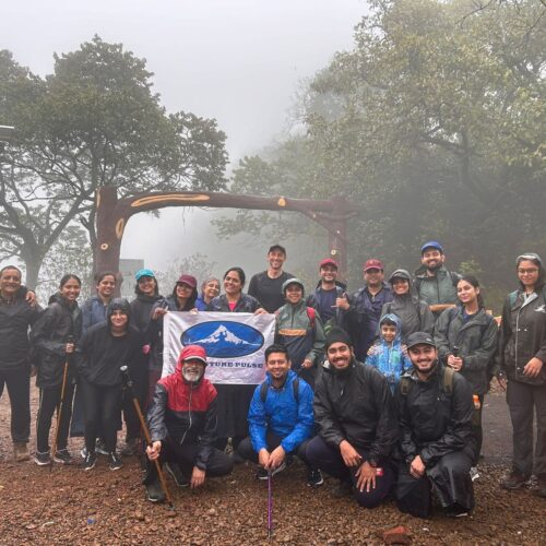
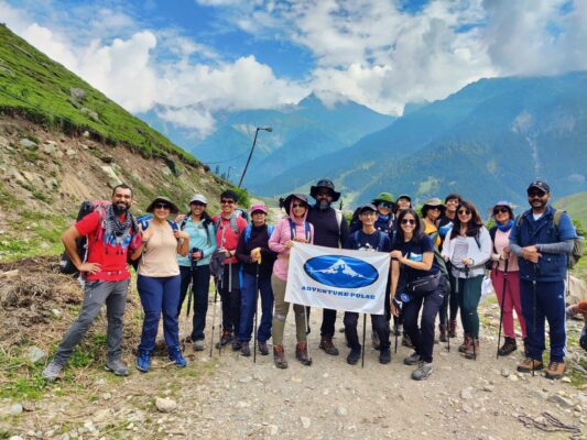
- With Adventure Pulse: We organized a central transport from Pune departing at 3 AM which gets us to the start point around dawn
The Trail: From Thakurwadi to the Pinnacle
Thakurwadi to Prabalmachi
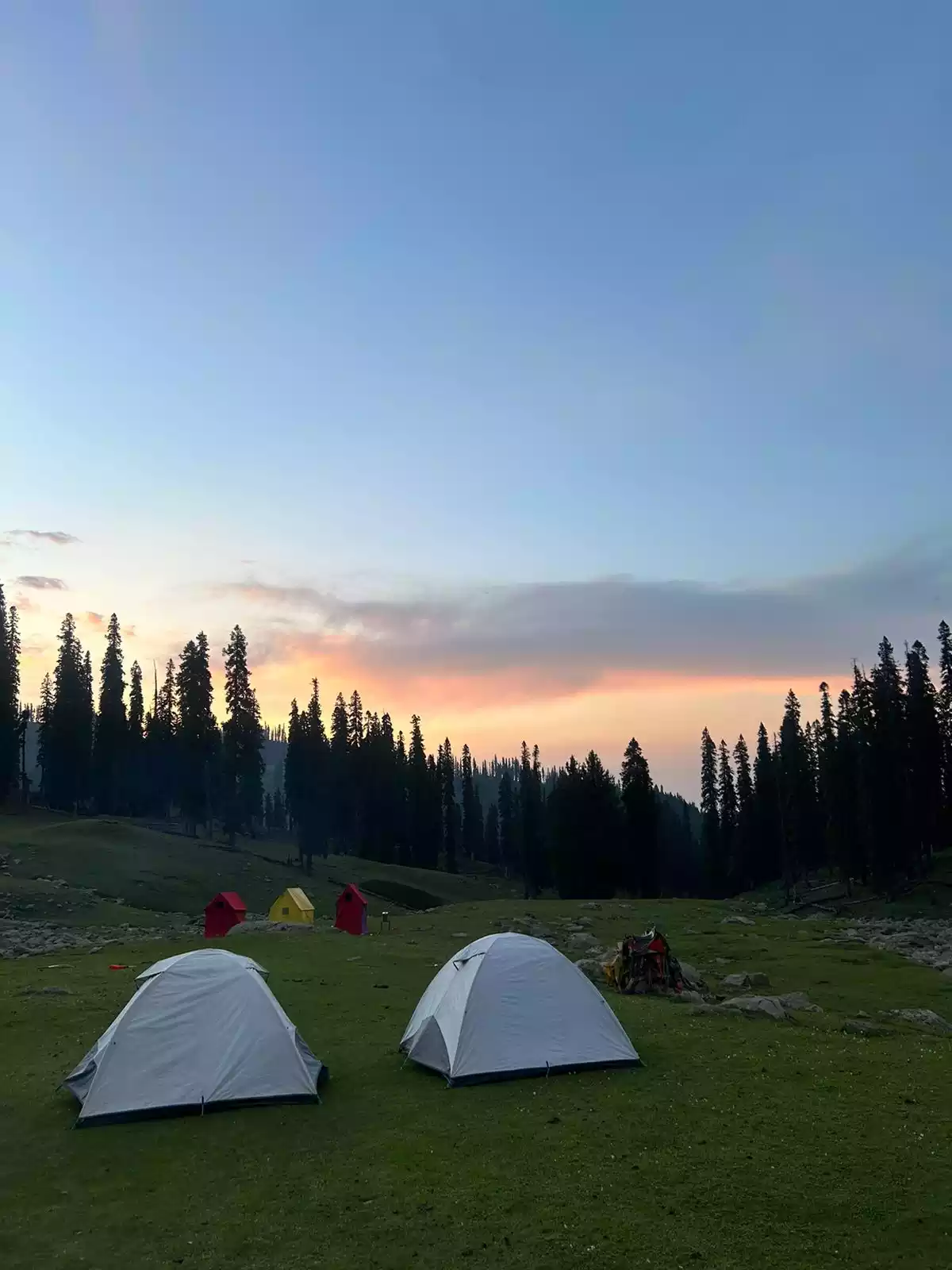
The trail begins in the village near the parking area, and locals will point you to the start. A small entry fee is usually collected here (₹50 per person is commonly quoted). The climb is steady, through village paths, forest and rocky stretches, and in the post-monsoon weeks streams trickle down green slopes. Around 60-90 minutes later, one arrives at Prabalmachi, where homestays, camping and simple village food awaits.
The Fork
Past Prabalmachi the trail splits: the one on the right branches to Prabalgad, and a diversion left takes you to Kalavantin Durg. The fork is not very easy to miss but keep an eye out around monsoon as the foliage blooms green.
The Climb to Kalavantin – Exposure at its Finest!
After ascending through a muddy and rocky gully, you arrive at the tiny col connecting the base of the pinnacle to the base of Prabalgad.
Here the forest drops away and the rock takes over. A staircase of narrow, uneven steps is carved precipitously into the outer face of the pinnacle, with little in the way of railings. 10-15 minutes later you reach the zenith. It is not technical , but it is severely exposed and vertigo inducing.
For this reason, Kalavantin is best avoided during the Monsoon.
The summit is small, with room to sit and look: Prabalgad across the col, and on clear days the ridges toward Matheran, Irshalgad, Chanderi and Peb fort.
Across to Prabalgad
Back on the plateau, the other branch leads to Prabalgad: a gentler walk through ruins and open ground. Look for:
- The Ganesh temple, with a Shivling behind the idol
- Four stone granaries, sometimes mistaken for a palace
- A dry lakebed, a reminder that water is scarce here
- Rock-cut caves and edge viewpoints over Kalavantin, Matheran and Irshalgad
Its sister fort, Irshalgad, is nearby. Strong groups starting early sometimes link all three, but that is a very long day.
The Descent
Going down Kalavantin is harder than going up for anyone uneasy with heights. Face the rock, keep your hands on it, and let the person below clear a section before you start it. The return from Prabalgad to Thakurwadi follows a different forest path of rocks, mud and small streams. Don’t rush it on tired legs.
How Hard Is It, Really?
Prabalgad is a long, steady hill walk, and anyone who can hike a few hours with a daypack can do it. Kalavantin is short but demanding in another way: it needs a clear head, steady footing and comfort on narrow ledges. Labels like “the world’s most dangerous fortress” are clickbait, but a slip here can have serious consequences, hence the rules below.
Best Time to Trek
October to February is the sweet spot: clear air, dry rock and lingering green. Weekdays are quieter. March to May is hot and shadeless, so start before sunrise.
June to September is spectacular but risky: slippery steps, poor visibility, rockfall and crowds. Local administrations in Raigad and neighbouring districts regularly restrict forts and viewpoints in the monsoon, and Kalavantin often features in those advisories. Check current orders before any rainy-season trip, and never climb wet rock.
Safety: The Non-Negotiables
- Never climb in rain or on wet rock.
- Start early and be off the pinnacle well before dusk.
- One person per section on the narrow steps, and no overtaking on exposed stretches.
- Take a local guide if you haven’t done the route.
- Wear trekking boots or trail running shoes with solid traction.
- Know your limit. If you freeze, or fear takes over – sit, breathe and descend slowly.
- Keep young children and unsteady trekkers on Prabalgad and at the Machi. Skip the stunts, alcohol and edge selfies.
What to Carry
- 2 to 3 litres of water per person
- Trekking shoes with grip, plus spare socks
- Daypack with a rain cover
- Headlamp with spare batteries
- Cap and sunscreen; a rain jacket from June to October
- Snacks and electrolytes
- Basic first-aid kit
- A bag to carry out your trash
Frequently Asked Questions
- Is Kalavantin Durg safe for beginners? Many first-timers do it, but the exposure is real. Go dry, go early, take a guide and turn back if you are uncomfortable.
- How long does the trek take? About 3 hours from Thakurwadi to the top of Kalavantin, plus the descent. Add Prabalgad for a full day in the Sahyadris or camp overnight at Prabalmachi or on Prabalagd.
- Can I do both forts in one day? Yes, in good weather with an early start and strong fitness
- Is it open in the monsoon? Open but often restricted. Check the current local orders before you travel.
- Do I need a guide? Not always, but it is strongly recommended for first-timers.
Final Thoughts
Some treks are about the summit. This one is about the approach: the slow reveal of the pinnacle, the hush of the plateau, and the old stones where a young Shivaji is said to have sheltered. Go in the right season, start early and respect the rock.
Planning your next Sahyadri adventure? Explore more treks and expeditions with Adventure Pulse.


