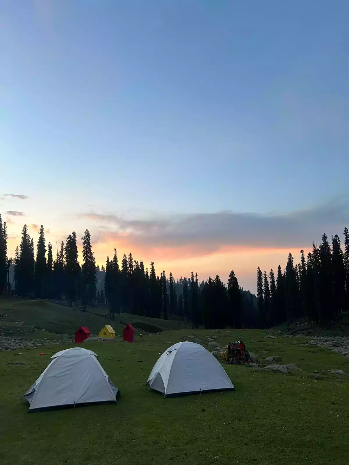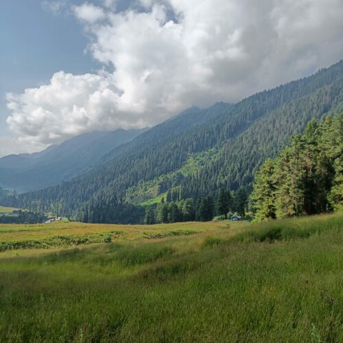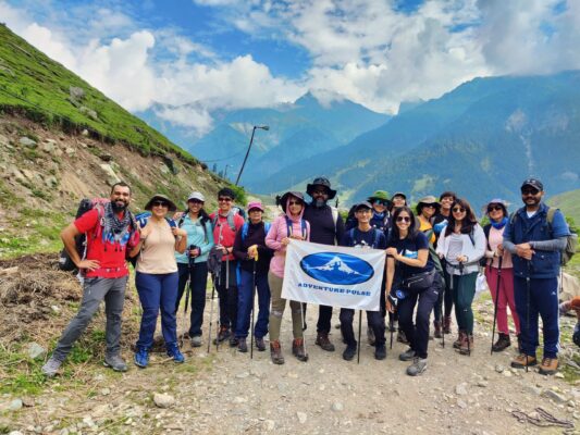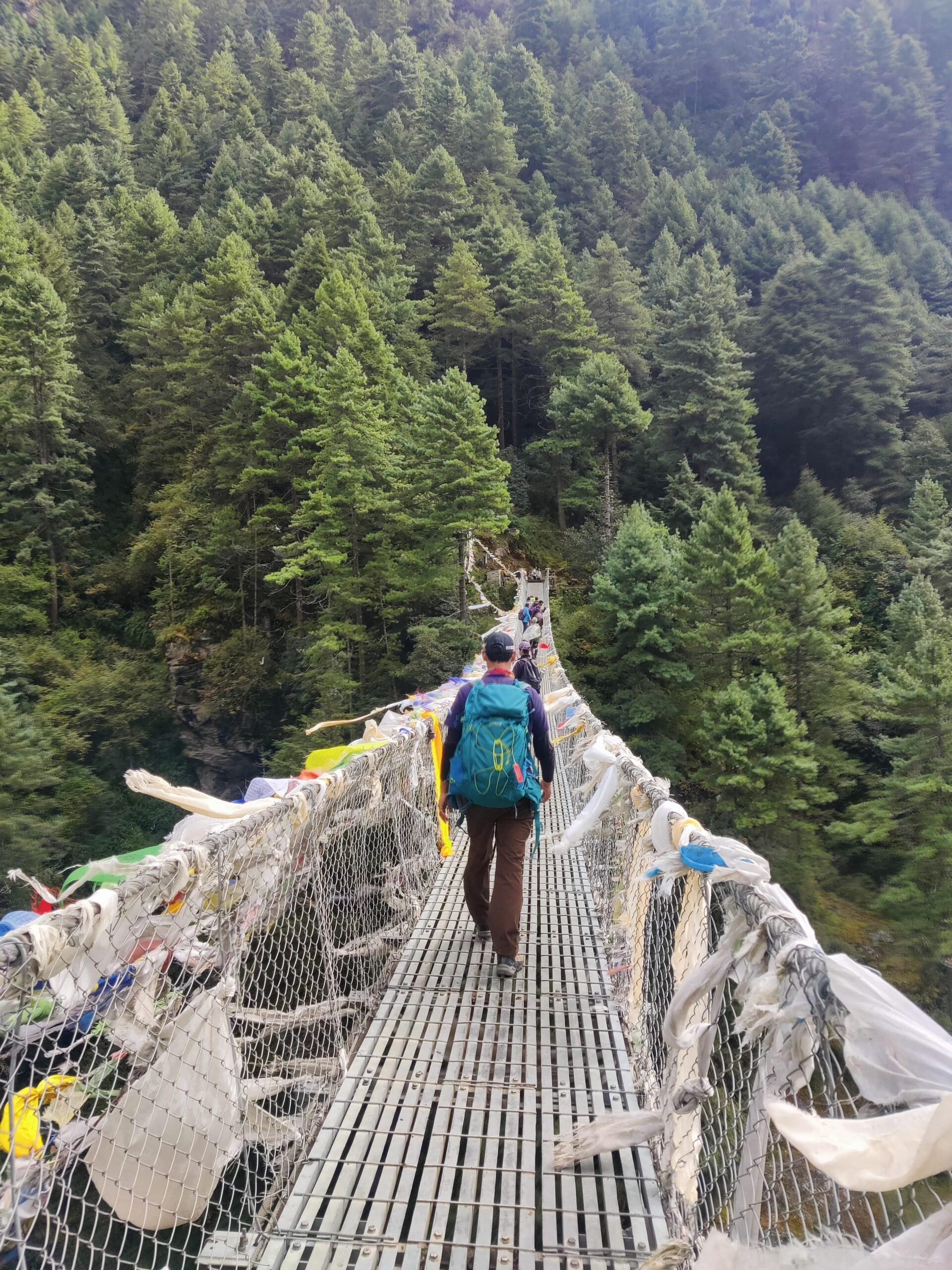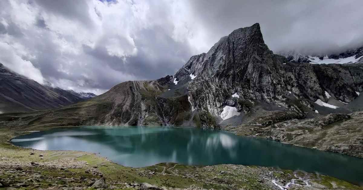
The Kashmir Great Lakes Trek is one of the most beautiful treks in India, and for a good reason. The 7-day trek starts from the settlement of Shitkari which is a 3-hour drive from the city of Srinagar. It’s a beautiful drive through the valleys of Kashmir. It is one of the most beautiful treks in the country. As the name suggests, the trek covers a series of High-Altitude Lakes, namely; Vishnusar, Krishnasar, Gadsar, Gangabal and Nandkol.
The Kashmir Great Lakes trek also covers 3 high-altitude passes, with the highest being the Gadsar Pass at 4200 metres. In this blog, we’ll be covering the various passes of the trek as they make up a large portion of the trek and I feel there is limited information about them.
For those unfamiliar, a mountain pass is a navigable route through a mountain range. In simple terms, it is a route that crosses over to neighboring valleys. The various mountain pass you cross on the Kashmir Great Lakes Trek is The Nichnai pass, the Gadsar Pass and Zaj pass
The Nichnai Pass
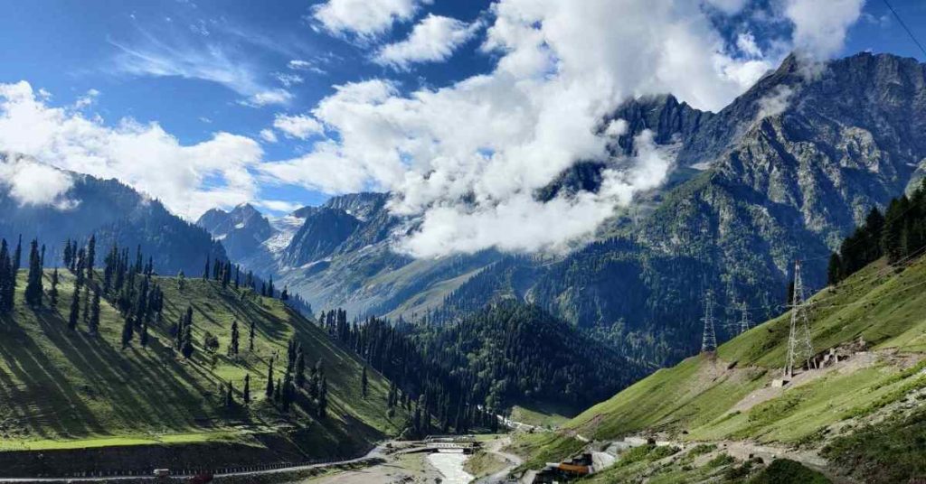
The first pass on the Kashmir Great Lakes Trek, the Nichnai Pass sure feels like the toughest. This may be due to the fact that the altitude gain for day 1 and day 2 (combined) is near 2500m. Groups tackle the formidable pass on day 2 of the trek. With the previous day’s campsite under the start for the climb, the Nichnai Pass stands tall just shy of 4100m.
The climb up to the pass begins with a hike on flat terrain for about 20 minutes, a dummy for the climb ahead. After the walk, you must cross the glacial stream and move to the right side of the mountain. If you are lucky, the flow and level of the water would be low, and you can wade through the water with relative ease. In some cases, you might have to take your shoes off and walk through the freezing cold water, something that our group had to do.
The path to the top is well marked and follows a straight route up (with minimal zigzagging). The top of the pass is marked by the spout of a stream. From the crossing, it takes around 1 and a half hours to the stream head. Don’t forget to capture the beautiful views of the valley below. Beware, the clouds can engulf the valley in a matter of minutes.
You want to make the climb at your own pace as the altitude can cause AMS. Once you make the end of the climb, the trail flattens out and gradually levels out for around 30 minutes. At the end of this section, you find yourself at the top of the Nichnai Pass.
From the top of Nichnai Pass you can see the next leg of the journey, a down climb to the bottom of the valley. Once you make your way to the bottom of the pass on the other side, the journey to Vishnusar Lake is Pretty much a walk on level ground.
Tip 1: Go Slow
The key to tackling any mountain pass is to go slow. By slow what we mean is just slower than your pace. This allows you to budget your energy for the whole climb, while reserving some energy for the rest of the trek. Walking slowly also allows your body to adapt to the changing altitude and reduces the chance of catching AMS.
Tip 2: Pace Yourself
One of the most important tips for a trek and for crossing a mountain pass. While trekking it is imperative that you find and stick to your pace. The easiest way to find your own pace is to walk at a speed that is comfortable for your body, that you can have a conversation at and don’t get out of breath. You want a pace that is easy to sustain for the entire trek.
The Gadsar Pass
The Gadsar pass is the highest pass of the trek at 4200m. You get to climb over this monster of a pass on Day 3 of the trek. The pass stands tall above the Krishnasar lake. Some campsites are pitched near Vishnusar, so you would have to journey to Krishnasar to get a good view of the climb up to the pass.
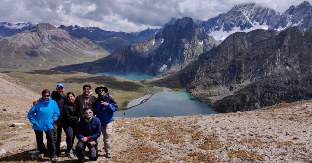
From Krishnasar you get a clear view of the climb up to the pass. The route is pretty steep with an average gradient of around 30 degrees. On a comfortable pace, the climb takes around 2 hours. Again, the route is direct and is a straightforward climb. This is the hardest pass of the entire trek and it is test of one’s fitness. From the top of the pass, both the lakes (Krishnasar and Vishnusar) look as if they are side-by-side and is the most popular picture spot on the entire trek. The view from Gadsar pass is a huge improvement from Nichnai Pass. On one side you have the lakes and on the other, the other valley. At 4200m, this is also the highest pass of the trek.
Most of the trail to the top of the pass is rocky, with minimal streams to refill water. We at Adventure-Pulse incorporate a buffer day into our trek as the horses cannot make the climb to the pass if the precipitation is too heavy.
The climb down is made easier if there is snow as some groups employ an ingenious solution of using raincoats to slide down the snow.
Tip 3: Drink Water
Dehydration in the mountains can occur rapidly. It is very important that you keep yourself hydrated. While climbing a pass such as the Gadsar Pass, you lose water quickly and drinking water frequently can make or break your climb. We always recommend carrying 2 litres of water for each day of trekking. Having a small sip of water every 20-25 minutes goes a long way. If you ever get a headache while trekking its mostly because of a lack of water
Tip 4: Keep your bag light
Another important aspect to keep in mind while climbing over a pass is the weight of your backpack. As your main bag is sent on ponies, your daypack must be as light as possible. Avoid carrying excess weight as it’ll weigh you down. The path to the top of the Gadsar Pass is steep and a lighter bag will pay dividends. An easy way to remember what to carry is by using the mnemonic device: ‘Warm Hats Twitch Ears’. W: Weather, always keep an eye out for changing weather and carry a jacket. H: Hunger, some chocolates or snacks to nibble on. T: Thirst, 2 litres of water. E: Electronics, your phone and camera.
The Zaj Pass
The final pass of the Kashmir Great Lakes trek takes place on day 5 of the trek. Though the Zaj Pass is the shortest of the three, it should by no means be underestimated. The climb up to pass is very different as compared to the other two.
It starts with a traverse across two rocky patches. Walking on boulders requires good coordination and concentration, so take your time and cross them at your own pace. Once you cross the rocky patches, you can see the top of the pass, which looks very close. Do not be fooled, this is just a mere false summit and the pass can only be seen once you cross it. It takes close to an hour to traverse the rock patches (placed by some glacier many many years ago). From the end of the rock patch, it takes around 60 minutes to the top of the pass.
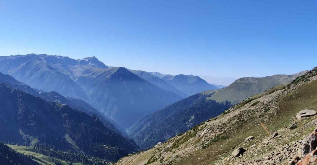
Once you reach the top you get views of Gangabal and Nandkot lakes and Harmukh, the peak above Nandkot. Climbing down the Zaj pass is also tricky as the trail is filled with loose rocks and one wrong step could cause a slip or an ankle injury.
The Zaj pass is the last pass of the trek and marks the end of the difficult section of the trek; as the journey to civilization is a two-day trek, primarily downhill.
Tip 5: Always keep a jacket handy
Adding to Tip 4, keeping a jacket handy is very important while climbing over a pass. As you go higher, the wind blows stronger and the chances of falling sick dramatically increases. As the act of climbing over a pass is strenuous, it causes you to sweat and any change in weather (snow or rain) can drastically reduce your body temperature. A good raincoat or windcheater goes a long way in keeping you safe from the elements. You can refer to our blog on layering for more.
Tip 6: Always walk with a buddy
Climbing over the Zaj Pass is no easy task. It requires mental and physical grit. Having a buddy to walk with makes it a little easier as you have someone to motivate you, pace you and have a conversation with. In the case of an emergency, your buddy can administer aid and inform the rest of the group.
The Kashmir Great Lakes trek attracts people from all over the world. The landscape changes from day to day and offers a chance to witness the Himalayas in their true beauty. It is a moderate trek and is perfect for individuals looking to transition into high-altitude trekking.

