Brief Itinerary
- Day 1 - Arrival in Manali. Explore the town and complete any last minute gear rentals/purchases.
- Day 2 - Drive from Manali to Khanjar (via Atal Tunnel). Trek to Doksa and Camp Overnight!
- Day 3 - Trek from Doksa to Yolling
- Day 4 - Trek from Yolling to Zardong
- Day 5 - Trek from Zardong to Palpu via Kesar Yon Chhap
- Day 6 - Trek from Palpu to Gompa
- Day 7 - Trek from Gompa to Tharang
- Day 8 - Trek from Tharang to Khanjar and Drive to Manali
- Day 9 - Check Out & Departure from Manali
Inclusions & Exclusions
Trip Cost Includes:
- 2 nights hotel stay in Manali - (Day 1 & Day 8) on bed & breakfast plan.
- Travel from Manali to Khanjar (Base Village for the trek) and back to Manali
- Experienced and qualified guides, kitchen staff for the trek.
- All Necessary Permits
- All Accomodation on trail - twin sharing in tents.
- Camping set up - Sleeping tent, dining tent, pit loo toilet tent, etc.
- All meals from Day 2 to Day 8
- Porters/Mules to carry backpacks/duffel bags during the trek (upto 10 kgs only per person)
Trip Cost DOES NOT Include:
- Travel to and from Manali
- Lunch & Dinner on Day 1 and Day 9
- Excess baggage to be carried by porters beyond specified weight limit.
- Tips for guides/porters/cooks (mandatory)
- Any personal clothing or equipment.
- Cost arising out of extension or reduction or change of itinerary, due to medical emergencies/personal reasons/force majeure etc..
- Upgrade to single occupancy in hotels on Day 1 & Day 8
- Upgrade to single occupancy tents
- Travel/Adventure Insurance
Things to carry
Download as PDFApparel
- Thermals - 1 pair top and bottom
- 4 t-shirts or long-sleeve shirt (preferably dryfit/quickdry)
- 2-3 pairs of trekking pants (no jeans)
- 1 Sweater/Sweatshirt
- 1 Fleece Jacket
- 1 Down Jacket
- 1 Waterproof Layer like raincoat or wind-cheater
- 1 pair of hiking boots
- 1 pair of comfortable sandals/floaters/sneakers
- 6-8 pairs of cotton socks (for day)
- 2 pairs of thick/woollen socks (for night)
- Gloves - liner and outer
- Sun cap/hat
- Woollen cap
- Buff/neck warmer
Accessories
- Duffel bag / Rucksack for off loading. Maximum 10 kgs allowed.
- Daypack / Backpack (20-30L capacity)
- 2x 1L Bottles (to carry drinking water)
- Torch + Batteries / Headlamp
- Trekking Poles (if you use them)
- Sunscreen
- Sunglasses
- Moisturiser
- Hand Sanitiser
- Any personal medication
- Personal Toiletries
- Trail snacks
- Power bank for electronics
Fitness
Download as PDF- There are three main aspects of training to focus on – strength training, cardiovascular training, and trekking + trekking alternatives.
- Strength training involves training different muscle groups, so that they can become stronger. There are different exercises for each muscle group, and working them all out 2x-3x a week should be enough to help you get comfortable trekking.
- Legs / lower body - exercises like squats, glute bridges, step ups and leg presses with help you develop stronger muscles in the lower body.
Core - Exercises like planks, bicycle crunches and leg raises can help with core stability; Pilates is also a core-intensive type of workout that will help.
Upper body - Bodyweight exercises like push-ups, pull-ups and dips will help develop these muscles. You can also use resistance bands or light weights to develop them further.
- It’s vital to do plenty of cardio training before your trek, so that you can get the most out of your experience
- Running - This is the most recommended form of cardio activity, as it activates a lot of the same muscles as trekking. Being able to run 10km in 60 minutes will allow you to get the most out of your trek.
Cycling / Swimming - If you have knee issues, or don’t enjoy running, you can also opt for cycling and swimming. Being able to cycling 30-50km or swim for 30-40 minutes, thrice a week, should be good to help you with treks like EBC.
HIIT training / Crossfit - Another option to level up your cardio training is to opt for high intensity aerobic exercises like HIIT or Crossfit, 2-3 times a week
The aim is to get your heart rate up, so you do not get winded on long days of trekking
- Hiking
Try to get outdoors and go for a hike on the weekends! Uphill trails of 4-8 kilometres are will help you get used to trekking. Make it a point to carry a loaded backpack, and walk in your trekking shoes.
- Hiking Alternatives
Climbing stairs, and using the treadmill or stairmaster on an incline, will help prepare you for treks. Make it a point to carry a loaded backpack so that you can get used to the extra weight; and use your trekking boots, so that you can break them in and walk comfortably.
- If you’re confused with all this information, no need to worry! The most important thing with training is consistency, and staying injury-free. Your training week should ideally have
Strength training - 3 sessions
Cardio training - 3 sessions
Hiking - 1 long session, best on the weekends
Rest and stretching - at least 1 day
FAQs
Miyar Valley Trek
What will be the accommodation during the trek ?
In Manali you will be staying in a 3 Star Hotel on Day 1 and Day 8 on a Bed & Breakfast Plan.
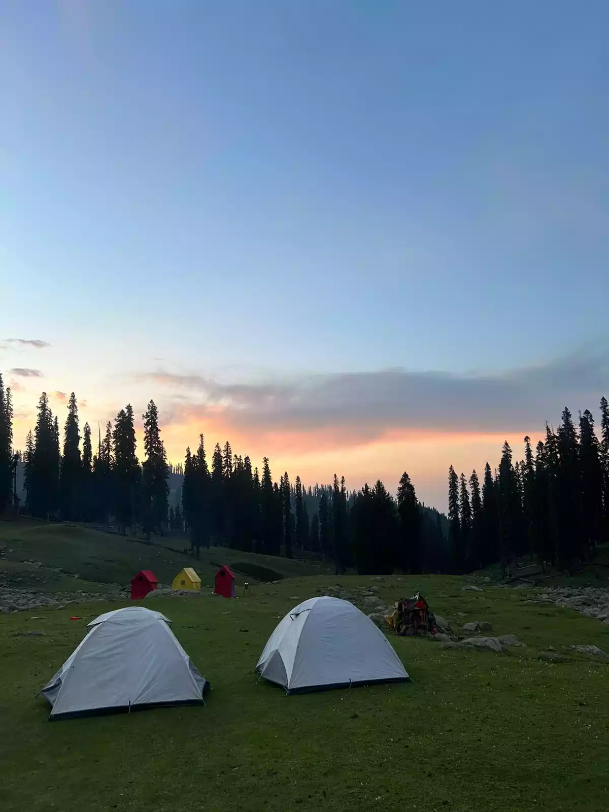
During the course of the trek you will be camping in tents on a twin-sharing basis which will have a mattress and a sleeping bag inside.
How fit should I be to undertake this trek?
The Miyar Valley trek is a moderate trail which begins at an altitude of 3520m. While this is quite high, the elevation gain on the trek is not much with the high point being Kesar Yon Chhap at 4020m.
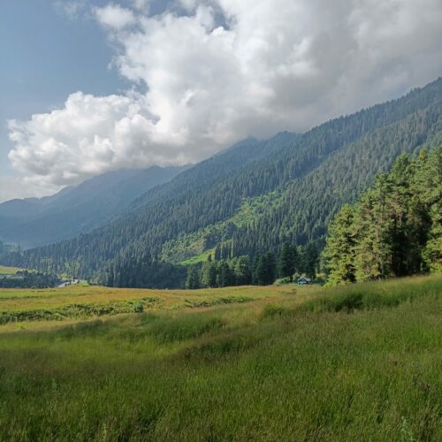
Depite this you need to be well prepared physically and mentally, as the first day or two could be a shock to your system otherwise due to the elevation. The trail requires you to walk anywhere between 8-12 kms through very gentle inclines each day and will therefore be a test of your endurance. It does not require any previous mountaineering experience as this is a walk through beautiful meadows and grasslands for the majority.
Good cardio-vascular conditioning and a strong lower body will ensure your trek is comfortable.
How many days long is the Miyar Valley Trek and where does it begin and end?
At Adventure Pulse, we follow a standard 9-day itinerary for the Miyar Valley trek.
On the morning of Day 1 - you need to reach Manali in Himachal Pradesh
The most convenient way to reach Manali is by road via Delhi and Chandigarh. There are regular buses that run on this route. Alternatively you can fly in to Bhuntar Airport (60kms from Manali) and drive down.
The roadhead for the trek is a village called Khanjar in the Lahaul region.
It is a 6 hour/140 km drive from Manali which we undertake on Day 2 of our itinerary.
Days 3-8 involve trekking and we return to Manali on the night of Day 8 with your departure on the morning of Day 9.
What are the food arrangements?
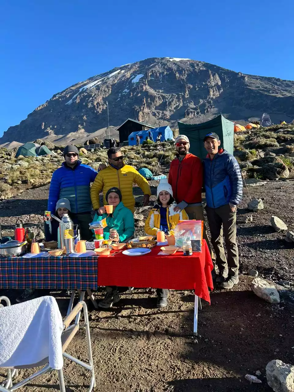
On the trekking days, all your meals are included, and are usually a good mix of Indian and continental food. Our cooks are very experienced and will be happy to entertain any particular requests you may have for your meals. All the meals are served in the common dining tent.
On Day 1 - Lunch & Dinner on Day 1 can be ordered ala carte in the hotel or you can visit Mall Road, Vashist and Old Manali to try the local cuisine.
Will I be able to take a shower or bath during the course of the trek?
Regular shower facilities will be available in the hotel in Manali. But while we are higher up in the mountains, a shower facility is not available for the climbing period.
What are the medical / emergency precautions taken?
- Adventure Pulse requires each of its clients to provide a medical fitness document before joining the group. This serves a dual purpose of allowing us to be prepared for any medical eventuality as well as gives you a reality check of where you stand physically.
- Our team is well qualified for any First-Aid procedures if required on the way, having been trained in first aid and certified as Life Savers & Life Guards.
- In addition a comprehensive medical & first aid kit is carried at all times.
- In case of dire necessity, Adventure-Pulse makes provisions to ensure emergency evacuation to the nearest hospital, where the patient would be transported on a pony with the team straight to the nearest hospital for medical treatment. Rest assured, this is option has never been exercised till date and we are proud to say that we have a 100% safety record.
- Adventure Pulse team also carries an oxygen cylinder for emergency purposes.

